Product Description:
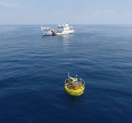
The Floating LiDAR System is an airborne light detection system that provides accurate data output. This system uses an airborne laser rangefinder to scan the environment in a 5-meter width with a 360-degree range and a scanning frequency of 1Hz. The output data is accurate within 2 centimeters, making it perfect for surveying and detecting objects. This reliable and efficient system makes it an ideal choice for many users.
The Floating LiDAR System is a powerful and precise laser scanning system capable of detecting objects and providing subreal-time data output. The system is designed to be reliable and efficient, with a scanning frequency of 1Hz, a width of 5 meters, and a scanning range of 360 degrees. This system is highly accurate, with accuracy to within 2 centimeters. The Floating LiDAR System is the perfect choice for those looking for an airborne laser rangefinder system that provides the highest standards of accuracy and quality.
Features:
- Product Name: Floating LiDAR System
- Accuracy: ±2cm
- Lifespan: 10 Years
- Data Storage: 900GB
- Height: 9m
- Data Format: TXT/CSV/Log
- Description: Airborne Laser Rangefinder System
Technical Parameters:
| Parameters |
Details |
| Product Name |
Floating LiDAR System |
| Weight |
15t |
| Data Transmission |
4G, Wifi, LAN, USB |
| Data Format |
TXT/CSV/Log |
| Scanning Frequency |
1Hz |
| Scanning Range |
360° |
| Data Output |
Subreal-time |
| Lifespan |
10 Years |
| Accuracy |
±2cm |
| Operating Temperature |
-30℃~50℃ |
| Width |
5m |
| Keywords |
Aerial Light Detection System, Laser Scanner Detection System, Laser Scanner Detection System |
Applications:
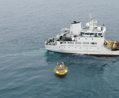
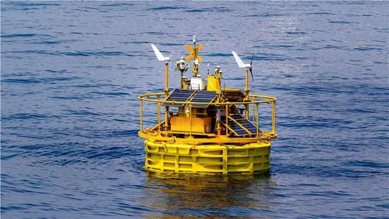
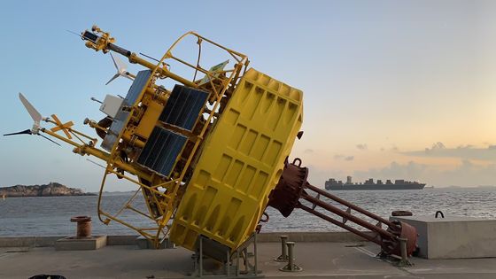
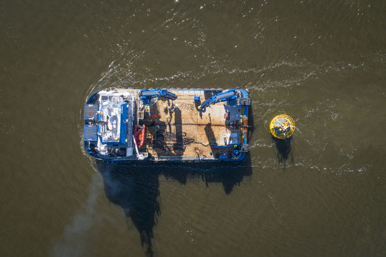
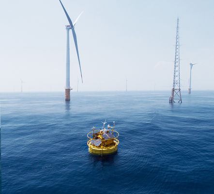
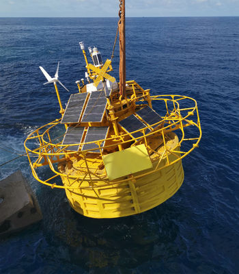
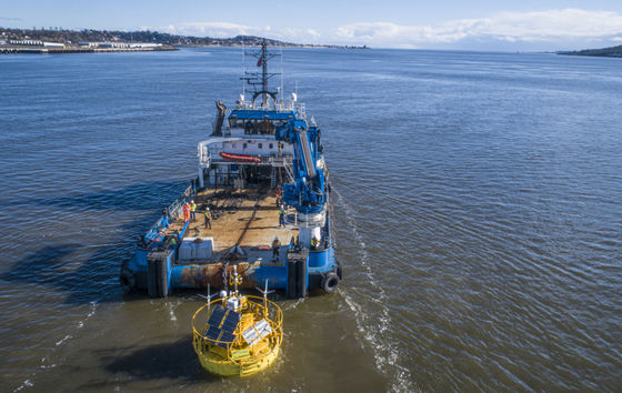
The Blue Aspirations BA-FLS-NX5 Floating LiDAR System is a powerful Floating LiDAR system certified and made in China with a minimum order quantity of 1. This fantastic system operates in temperatures ranging from -30℃ to 50℃ with a scanning frequency of 1Hz and is powered by DC 24V. It also offers 900GB of data storage and a subreal-time data output. With its cutting-edge technology, this floating laser detection system is highly reliable and efficient for various applications and scenarios.
The Blue Aspirations BA-FLS-NX5 Floating LiDAR System is the perfect oceanographic and offshore wind measurement solution. With the price of 1500000, this system offers unparalleled accuracy and efficiency at a great value. Make sure to add this fantastic system to your next project and enjoy the benefits of this high-tech Floating LiDAR system.
Customization:
Blue Aspirations Floating LiDAR System (BA-FLS-NX5)
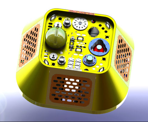
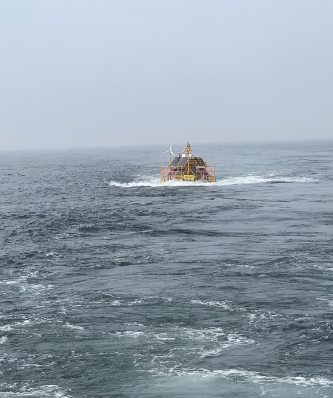
The BA-FLS-NX5 from Blue Aspirations is a high-performance Aerial Light Detection System (A-LiDAR) that provides subreal-time data output. It can be used for aerial laser mapping and floating laser detection. With an accuracy of ±2cm, BA-FLS-NX5 is suitable for precision mapping and surveying applications.
Product Name: BA-FLS-NX5
Place of Origin: China
Certification: 1
Minimum Order Quantity: 1
Price: 1500000
Data Output: Subreal-time
Accuracy: ±2cm
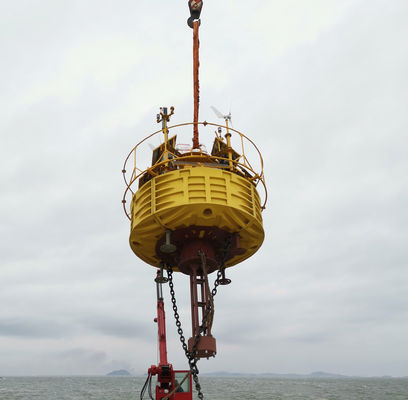
Weight: 15t
Power Supply: DC 24V
The Floating LiDAR System is packaged in a robust and durable container. The container protects the system from damage during shipping and handling. The package includes:
The package is shipped via a reliable courier service, with a tracking number provided to the customer to track their shipment.
The customer is responsible for any customs or other import fees related to the shipment to their country.

 Your message must be between 20-3,000 characters!