Product Description:
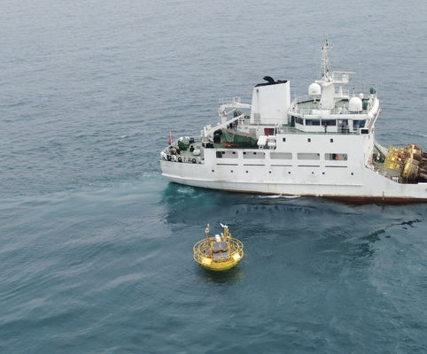
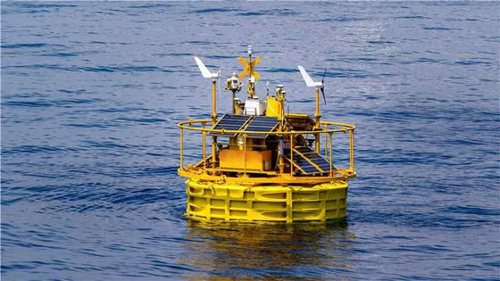
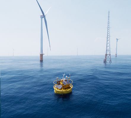
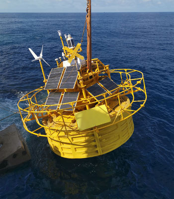
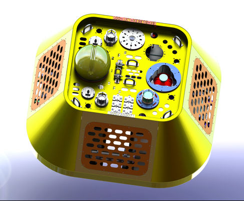
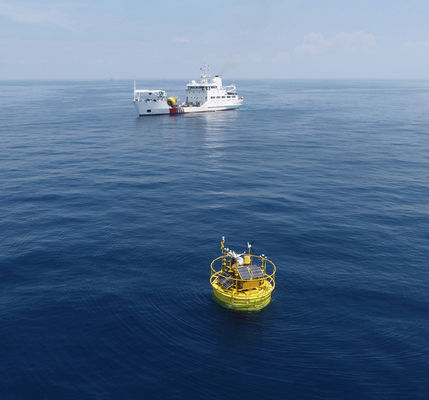
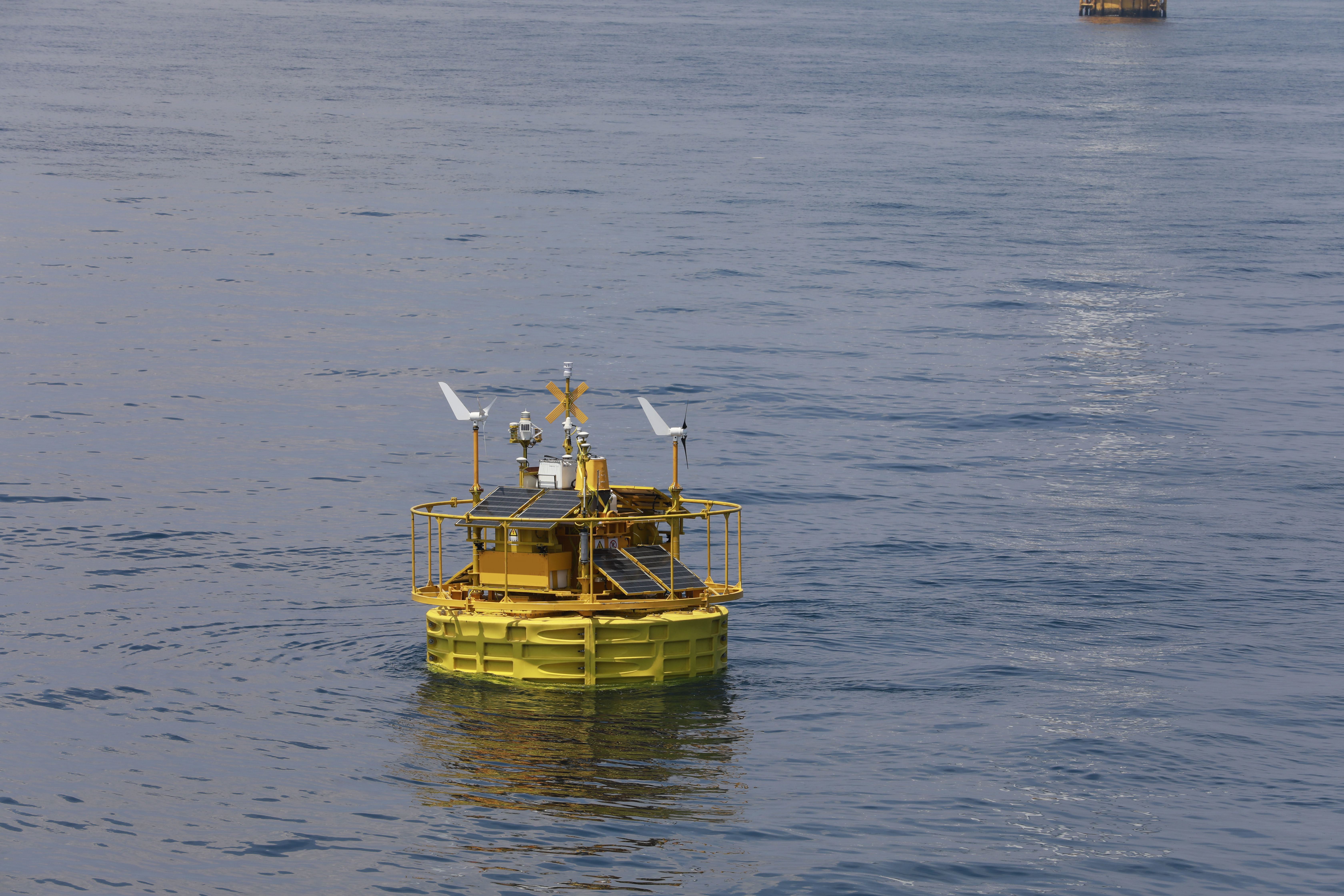
Our Floating LiDAR System is an Offshore wind Detection System, Laser Scanner Detection System, and Aerial Laser Mapping System. It is designed to provide real-time data for early-stage verification of wind farms, from wind speed, wind direction, and meteorological data. A DC 24V power supply powers it and has a scanning range of 360° with a width of 5m. The system supports data transmission via 4G, WiFi, LAN, and USB; data formats include TXT, CSV, and Log.
Features:
- Product Name: Floating LiDAR System
- Data Output: Quasi-Real-time
- Scanning Range: 360°
- Operating Temperature: -30℃~50℃
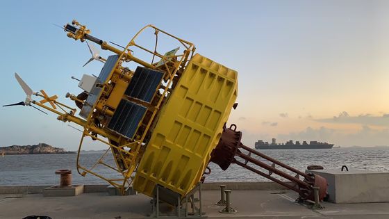
- Height: 9m
- Scanning Frequency: 1Hz
- Laser Scanner Detection System
- Light Detection and Ranging System
- LiDAR System
Technical Parameters:
| Parameter |
Value |
| Product Name |
BA-FLS-NX5 |
| Data Output |
Quasi-Real-time |
| Scanning Range |
360° |
| Data Storage |
900GB |
| Scanning Frequency |
1Hz |
| Weight |
15t |
| Height |
9m |
| Data Format |
TXT/CSV/Log |
| Power Supply |
DC 24V |
| Lifespan |
10 Years |
| System Type |
Aerial Laser Mapping System, Laser Scanner Detection System |
Applications:
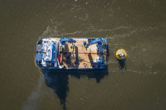
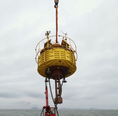
The Blue Aspirations BA-FLS-NX5 airborne laser rangefinder system is a premier offshore wind data measurement system from China, certified with a minimum order quantity of one. It is widely used in the offshore wind industry. The system has a 360° scanning range, 900GB of data storage, and a 5m width. It is also incredibly lightweight at only 15t.
The Blue Aspirations BA-FLS-NX5 is ideal for mapping, surveying, and engineering professionals. It has a high accuracy level and provides accurate measurements, allowing for precise data collection. It is also incredibly lightweight and easy to transport, making it perfect for those who need to move their equipment often.
The Blue Aspirations BA-FLS-NX5 is an excellent choice for professionals who need a reliable and efficient system for their mapping and surveying needs. Its 360° scanning range, 900GB of data storage, and a 5m width, it is the perfect choice for an airborne laser mapping system. Plus, with its price of 1500000, it is an affordable choice for professionals who need a reliable and efficient system for their mapping and surveying needs.
Customization:
Blue Aspirations BA-FLS-NX5 is an Airborne Laser Rangefinder System with Accurate Scanning made in China. It is certified with certification of OWA Stage 2, and the minimum order quantity is 1. The price is 1500000. The system's accuracy is ±2cm, and the operating temperature is from -30℃ to 50℃. This system has various data transmission options, including 4G, Wifi, LAN, and USB. The data format of this system is TXT/CSV/Log.
Support and Services:
Floating LiDAR System Technical Support and Service
- Provide 24/7 technical support for Floating LiDAR System
- Provide regular maintenance and update service for the Floating LiDAR System
- Provide professional consultation and advice for Floating LiDAR System
- Provide timely troubleshooting and problem-solving for the Floating LiDAR System
- Provide software and hardware upgrades for Floating LiDAR System
- Provide remote real-time monitoring and diagnosis for Floating LiDAR System
- Provide customized solutions for Floating LiDAR System
Packing and Shipping:
Packaging and Shipping for Floating LiDAR System
Packaging
We package each Floating LiDAR System with bubble wrap and a sturdy cardboard box.
Shipping
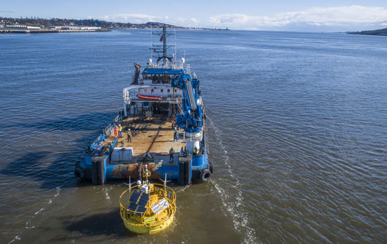
We ship each Floating LiDAR System by air, land, or sea freight, depending on the size and weight of the order.

 Your message must be between 20-3,000 characters!