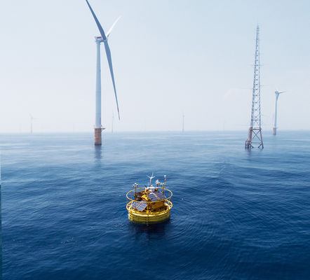
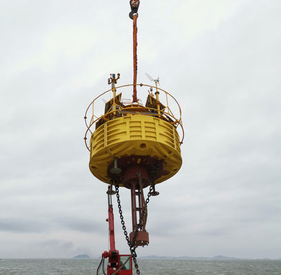
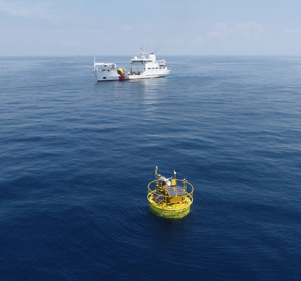
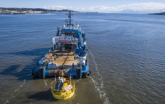
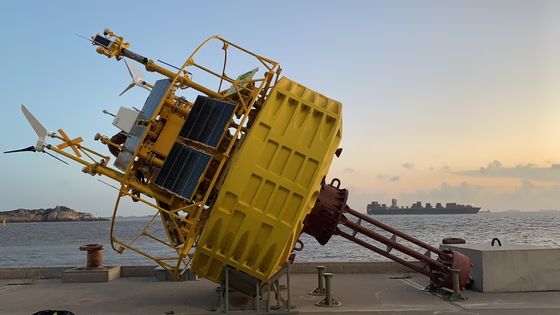
Floating LiDAR System,Floating LiDAR System,Dual LiDARDual LiDAR
Next-generation offshore metocean measurements
Floating LiDAR System,Dual LiDAR
Fast, accurate, and reliable technology for data-driven offshore wind development.
Blue Aspirations was founded to accelerate the global adoption of renewable energy by harnessing the power of data. Using our software development and engineering expertise, and a team with more than a decade of experience in the renewables industry, we partner with clients who share our passion for sustainability and our ambition to tackle the challenges of the next century.
Reliability is the most important feature of any floating Lidar system and is a core tenet of Blue Aspirations’ design philosophy . Drawing on our team’s expertise in design principles from the telecommunications industry, the system emphasizes redundancy in its key components. The commercial model was also iteratively designed using simulations to model failure paths and eliminate single point of failures. Key examples of how these principles are embodied in the floating Lidar system include:
Since the motion of the buoy affects LiDAR wind direction and wind speed measurements, Blue Aspirations’ system is equipped with a motion sensor to acquire high-resolution pitch and roll data, and heading and DGPS sensors to obtain accurate heading information. Our patented algorithm then uses a projection method to correct the LiDAR wind speed data to the appropriate horizontal plane. By calculating the LiDAR installation angle offset from the heading sensor’s true north, the system is likewise able to transform the collected wind direction data to the correct angle.
Modules | Details |
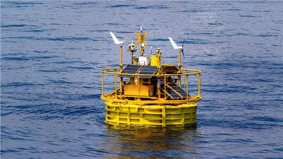
Buoy |
-Diameter: 5m -Height: 9m -Weight: 14t -Net Buoyancy: 10t -Structure: multiple cabinets -Materials: PE, carbon steel, stainless steel |
Mooring System(1) |
-Water-depth: >5m -Anchor: cement anchor 12t and/or high holding power anchor -Mooring: one-point mooring with DIN5683-II chain -Adjustable to suit site-specific requirements including larger water-depth -Multiple mooring system is also available |
Control System |
-Industrial PLC -or BA's embedded controller |
LiDARs |
-LiDARs: Dual LiDAR(default); -ZX 300M, Windcube offshore version, Molas 300M |
Power Supply |
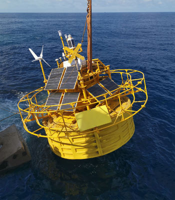
-Battery Capacity: total 60kwh in multiple groups; -Wind Turbines: 2×350W -Solar Panels: 1600W, multiple groups |
Navigation System |
-AIS×1 -Radar reflector×2 -IALA-compliant navigation light1×-1 Supporting dual navigation light but need to meet the requirement of local authority |
Positioning System |
-Directions: 0-360° -Direction accuracy: 0.09° (2m baseline) -Positioning accuracy: 0.5m (horizontal, SBAS mode) |
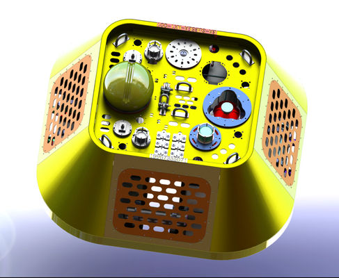
Motion Sensors | -GNSS-INS sensor×2 or GNSS-INS sensor×1 and MRU sensor×1 |
Communication Systems |
-SAT Modules: Iridium SBD×1,other Broadband SAT data modules (optional); -Mobile Networks: 2G/3G/4G×1; 2.4G/5G Wi-Fi×2; Local Ethernet connection |
Data Acquisition |
-Dual Industrial PCs -Interfaces: serial×6, Ethernet×2 |
Hydrological sensors |
-Doppler current sensor -Wave sensor and water depth sensor -Water salinity and temperature sensor |
LiDARS specification
1 | Measurement parameters | |
1.1 | Measurement height(range) | 30m~300m |
1.2 | Measurement layer | 12 |
1.3 | Wind speed measurement range | 0m/s~75m/s |
1.4 | Wind speed measurement accuracy | 0.1m/s |
1.5 | Wind direction measurement range | 0~360° |
1.6 | Wind direction measurement accuracy | 1° |
1.7 | Data storage capacity | >5 years |
1.8 | Data transmission | Satellite, 4g, wifi |
2 | Working Condition | |
2.1 | Powered Supply | 24V DC,90~270V AC |
2.2 | Power Consumption | 60W |
2.3 | Working humidity range | 0% to 100% |
2.4 | Range of working temperature | -40℃ ~ 50℃ |
2.5 | Protection level | IP67 |
2.6 | Eye safety | Class 1M(EN60825-1) |
3 | Certificate | DNV-GL/DTU/WINDGUARD/ETL/CE/ |
Blue Aspirations’ floating LiDAR system is equipped with:
· Yellow marine paint;
· Yellow X marking cross;
· Yellow light beacons with pulse frequency specific to an ocean data acquisition system buoy;
· Automatic Identification System;
· Radar reflector; and
· All additional marking and navigational aids as required by local regulations.
Below is a typical configuration, however each system is adapted to address local requirements.
Navigation Lights
Range:5NM
Cross